

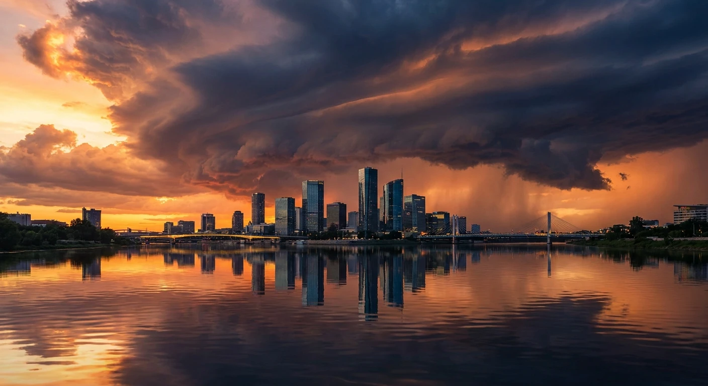
Dealing With Brisbane Storms: What You Need To Know
When dark clouds suddenly roll over the River City, understanding how Brisbane storms operate becomes an absolute necessity for household safety and property protection. South East Queensland sits precisely in the firing line for some of the most dynamic atmospheric events in the Southern Hemisphere. The region’s unique geography, combined with intense subtropical heat and coastal humidity, creates the perfect incubator for sudden, highly volatile weather patterns. From towering supercells bringing destructive hail to intense localized flash flooding, these meteorological phenomena shape the architecture, emergency planning, and daily habits of the region.
Knowing the exact mechanisms behind these high-energy weather events helps residents and city planners mitigate damage, respond efficiently, and maintain resilience when the power grids go down. The interaction between the Great Dividing Range and warm ocean currents guarantees a heavy storm season year after year. We need to look closely at the meteorological triggers, the historical impacts that have shaped local building codes, and the highly actionable steps you must take to fortify your property before the sky turns green. True preparation starts with a solid, fact-based understanding of the highly charged atmosphere directly above the city.
Read also: What Causes a Dent in Head? Risks and Medical Solutions; The Ultimate Valley Combat Guide for Strategy Players.
Living in a subtropical climate means you cannot afford to be complacent when the weather radar starts lighting up. Being fully aware of the distinct benefits of early preparation drastically outweighs the heavy harms of ignoring weather warnings. Understanding the immediate threat level provides massive advantages for urban residents. First, rapid property protection becomes second nature. When you know the atmospheric signs of a hailstorm, you can easily move vehicles under cover or throw heavy blankets over vulnerable glass well before the first ice chunks fall. Second, you achieve profound infrastructure resilience. Residents who proactively clear their drainage pathways and secure loose outdoor items rarely face the devastating roof collapses or projectile damage that typically plague unprepared neighborhoods.
When severe weather systems impact the region, they bring a multi-layered assault of specific environmental hazards that require distinct defensive strategies. You have to anticipate the three primary threats that arrive simultaneously:
- Destructive Wind Gusts: Sudden downdrafts and microbursts can easily exceed 100 kilometers per hour, snapping mature tree branches and lifting poorly secured roofing iron.
- Giant Hailstones: Intense atmospheric updrafts freeze moisture repeatedly until the ice chunks become too heavy to remain airborne, leading to catastrophic damage to vehicles and skylights.
- Torrential Rain and Flash Flooding: Slow-moving systems dump immense volumes of water in minutes, quickly overwhelming suburban storm drains and turning localized low points into rapid rivers.
To accurately assess the threat level, you must understand the different classifications of weather systems that frequently cross the region. Here is a breakdown of the typical phenomena you will encounter during the peak season:
| Weather System Type | Primary Characteristics | Visual and Radar Warning Signs |
|---|---|---|
| Single-Cell Pulse Storm | Short-lived, highly localized heavy rain and frequent lightning strikes. | Rapidly building white cumulus clouds turning dark at the base; small isolated red cores on radar. |
| Squall Line | A long, solid band of intense thunderstorms moving as a unified front, bringing widespread damaging winds. | A massive, dark shelf cloud approaching across the horizon; a continuous solid red or black line on radar displays. |
| Supercell | Highly organized storms featuring a rotating updraft (mesocyclone). Capable of giant hail and extreme winds. | An ominous, often green-tinted sky, dense structure; a distinct “hook echo” or very deep black/purple core on the radar. |
Origins of the Subtropical Weather Engine
The geographical layout of South East Queensland operates exactly like a massive atmospheric engine. The origins of these intense weather patterns lie in the precise collision of different air masses. During the warmer months, intense solar radiation heats the landmass, causing the surface air to rise rapidly. Simultaneously, the prevailing sea breezes push massive amounts of moisture-laden air inland from Moreton Bay and the Coral Sea. When this warm, incredibly humid air meets the cooler, drier air pushing over the Great Dividing Range from the western interior, explosive atmospheric instability is born. This geographical funnel essentially guarantees that the convergence zone hovers directly over the heavily populated urban corridors.
The Evolution of Storm Tracking in Queensland
Historically, residents relied entirely on visual spotting and basic barometer drops to predict incoming weather disasters. The evolution of meteorological tracking has completely transformed public safety over the last few decades. Before the mid-20th century, a severe cell could strike completely without warning. Today, the Bureau of Meteorology utilizes an incredibly sophisticated network of highly sensitive Doppler radars, particularly the installations at Mt Stapylton and Marburg. These advanced radar arrays provide highly granular, real-time data regarding wind speed, directional sheer, and precise rainfall density. This technological evolution shifted the region from a reactionary stance to a highly proactive, alert-driven culture where mobile phone warnings provide critical lead times.
The Modern State of Urban Resilience
The modern state of the city’s infrastructure is a direct physical response to historical weather catastrophes. Massive events in the past heavily dictated the evolution of local building codes. Authorities drastically overhauled the Queensland building standards, mandating far stricter wind-rating requirements for residential roofing, specifically demanding heavier structural tie-downs and impact-resistant materials. The modernization of urban drainage basins and the strategic implementation of massive stormwater retention networks highlight how city planners adapted to the reality of torrential rainfall. Today, the built environment is fundamentally engineered to absorb atmospheric shocks that would have caused total devastation fifty years ago.
Atmospheric Instability and Supercells
To truly comprehend the sheer power of these weather events, you must look at the highly specific thermodynamics driving the atmosphere. The crucial metric meteorologists monitor is Convective Available Potential Energy (CAPE). CAPE measures the exact amount of buoyant energy available to accelerate a parcel of air vertically. When the region experiences high heat and humidity, CAPE values skyrocket. However, high energy alone just causes brief rain. The true catalyst for a supercell is wind shear—the change in wind speed and direction at different altitudes. When strong upper-level winds cross over moist, rising surface air, the entire thunderstorm structure begins to rotate. This sustained, rotating updraft, known as a mesocyclone, allows the system to continuously feed itself without being choked off by its own descending cold rain, creating a self-sustaining atmospheric beast.
The Microphysics of Hail Formation
The creation of destructive hail requires extreme atmospheric violence happening miles above the ground. Within a highly developed supercell, the rotating updraft functions like a massive vacuum, pulling immense volumes of moisture up past the freezing level of the troposphere. Supercooled water droplets freeze onto tiny dust particles, creating small ice pellets. Here are the crucial scientific facts behind this process:
- Updraft Velocity: To suspend a hailstone the size of a golf ball, the vertical wind speeds inside the cloud must exceed completely sustained 100 kilometers per hour.
- Layered Freezing: Hailstones grow by continuously cycling up and down through the freezing layer, accumulating concentric rings of clear and opaque ice as they collide with more supercooled water.
- Terminal Velocity Drop: Once the stone’s mass eventually overcomes the upward force of the updraft, it falls to earth at speeds frequently exceeding 120 kilometers per hour, generating immense kinetic energy upon impact.
- Electrical Charge Separation: The violent collision of these ice particles strips electrons, creating the massive electrical charge differentials that result in the continuous cloud-to-ground lightning unique to heavy cells.
Step 1: Secure the Property Perimeter
Start your physical preparation by addressing the immediate exterior of your home. Any unsecured item in your yard instantly becomes a lethal projectile when 100 km/h downdrafts hit. You must firmly anchor trampolines using heavy-duty ground stakes and tension straps. Bring lightweight patio furniture, potted plants, and outdoor toys inside the garage or house. Thoroughly inspect your fencing for loose panels and ensure your gates are heavily padlocked or bolted so they do not swing violently and shatter hinges.
Step 2: Clear Roof and Gutter Systems
Water damage usually occurs because the building’s drainage mechanisms fail, not because the roof itself breaks. You must manually clear all leaves, twigs, and accumulated dirt from your gutters and downpipes. Blocked gutters cause torrential rainfall to immediately back up, pushing under the roof eaves and flooding directly into your ceiling cavity. Install reliable gutter guards and double-check that your downpipes direct the heavy water flow away from your home’s foundational slab.
Step 3: Assemble the Emergency Kit
Power outages are highly probable during severe weather events. Your household must possess a fully stocked, easily accessible emergency kit. This kit strictly requires heavy-duty waterproof flashlights with spare batteries, a battery-operated or hand-crank AM/FM radio to hear official warnings, a comprehensive first aid kit, fully charged portable power banks for mobile devices, and a minimum of three days’ worth of bottled water and non-perishable food. Store this kit in a heavy plastic tub.
Step 4: Establish Safe Zones
You need to designate a highly specific shelter area inside your home before the sky darkens. The ideal safe zone is on the lowest floor, entirely away from exterior windows, skylights, and glass doors. Interior hallways, windowless bathrooms, or walk-in closets provide the highest level of structural protection against shattered glass and localized roof failures. Keep thick blankets or mattresses nearby to physically shield your family if the roof structure is audibly compromised.
Step 5: Monitor the Radar Data
Do not rely entirely on the sound of thunder to start reacting. You must actively monitor the official weather radar loops. Download the official meteorology applications and activate severe weather push notifications on your phone. Learn to differentiate between a standard rain band and a severe weather core—indicated by dark red, black, or purple pixels. Tracking the storm’s velocity and directional vector gives you the precise minute-by-minute lead time required to finalize your lockdown procedures.
Step 6: Disconnect Sensitive Electronics
Lightning strikes generate immense electrical surges that easily travel through the local power grid and directly into your home. Standard surge protectors often fail against a direct high-voltage strike. To completely guarantee the survival of your expensive hardware, you must physically unplug computers, televisions, gaming consoles, and major appliances from the wall sockets. Furthermore, physically disconnect antenna cables from televisions, as the metal mast on your roof is a prime target for electrical discharge.
Step 7: Post-Event Safety Checks
Once the system completely passes and the immediate threat subsides, your actions remain highly critical. Never walk through floodwaters, as they frequently conceal missing manhole covers, sharp debris, and highly dangerous downed power lines. Visually inspect your property for structural damage from a safe distance. If you smell gas or suspect serious electrical damage, immediately shut off the mains and contact the authorized emergency services. Document all property damage extensively with photographs before attempting any temporary cleanup for insurance purposes.
Myth: Rivers and hills physically block storms from crossing into certain suburbs.
Reality: A massive supercell stretching 15 kilometers into the atmosphere operates entirely independently of minor surface topography. While local terrain can slightly alter low-level wind patterns, a severe weather system holds far too much thermodynamic momentum to be stopped, diverted, or weakened by simply crossing a local river or a small ridge.
Myth: Taping an ‘X’ over your glass windows prevents them from shattering.
Reality: Applying masking tape or duct tape to glass offers absolutely zero structural reinforcement against 120 km/h wind gusts or solid ice impacts. Instead of shattering into small, relatively harmless pieces, taped glass often breaks into massive, heavy, highly lethal shards held together by the tape. Use heavy protective blinds or stay away from windows entirely.
Myth: Lightning never strikes the same place twice.
Reality: Tall structures and elevated geographical points are repeatedly struck by lightning during a single weather event. The electrical charge simply seeks the path of least resistance to the ground. A single lightning rod on a tall city building can easily absorb dozens of direct strikes throughout the lifespan of one squall line.
Myth: A green tint in the sky guarantees a tornado is forming.
Reality: The eerie greenish-black color results from the late afternoon sunlight physically interacting with the immense volume of water and massive ice cores suspended high within the cloud structure. While it strongly indicates a deeply severe hailstorm with immense moisture, it does not strictly indicate tornadic rotation.
What time of year are severe weather events most common?
The traditional severe weather season runs from late October through to March. However, extreme atmospheric instability can trigger isolated events whenever the optimal combination of surface heat, immense humidity, and strong upper atmospheric wind shear perfectly aligns.
How does the official warning system work?
Meteorological authorities issue a “Watch” when conditions are highly favorable for severe weather to develop. They upgrade this to a “Warning” strictly when severe weather is actively occurring, clearly visible on Doppler radar, or directly reported by trained ground spotters.
Where should I safely park my car?
Vehicles must be parked securely under solid carports, inside enclosed garages, or deep beneath heavy concrete awnings. Do not park beneath large, mature trees, as saturated soil and intense downdrafts frequently cause massive branches or entire root systems to completely collapse onto the vehicle.
Can I safely use my mobile phone during a lightning storm?
Yes, using a completely unplugged, battery-operated mobile phone is perfectly safe during intense lightning. However, you must never use a hardwired landline phone or a mobile device that is actively physically connected to the wall charger, as the electrical surge can travel directly through the copper wiring.
What exactly is a microburst?
A microburst is a highly localized, incredibly intense column of sinking cold air that crashes into the ground and violently explodes outward in all directions. These sudden bursts can easily produce wind speeds matching a small tornado, causing massive, straight-line structural destruction in a matter of seconds.
Does standard home insurance cover flood damage automatically?
No. Standard insurance policies usually clearly differentiate between “stormwater runoff” and true “riverine flooding.” You must actively review your specific Product Disclosure Statement to verify that your exact geographical location is comprehensively covered for rising floodwaters.
How quickly can urban flash floods actually occur?
In highly developed urban catchments with immense amounts of concrete, flash flooding can fully develop within 15 to 30 minutes of a torrential downpour. Suburban storm drains simply cannot process extreme volume quickly enough, instantly transforming safe roadways into lethal, rapidly moving waterways.
Conclusion
Surviving the intensity of South East Queensland’s atmosphere requires constant vigilance and proactive physical planning. Understanding the brutal mechanics of how these severe systems form directly empowers you to protect your family and your property. Never underestimate the sheer kinetic energy of heavy hail or the rapid danger of localized flooding. Take the time today to clear your gutters, update your emergency kit, and finalize your household safety plan. Stay informed, respect the radar, and act decisively before the thunder begins!